
Cape Coral ZIP Code Directory Coverage
Cape Coral's economic plan identifies six official Census ZIP Code Tabulation Areas. They divide the southeast riverfront, eastern core, western canal areas, and fast-growing north into practical search zones. The descriptions below are orientation points, not legal neighborhood boundaries.
| ZIP Code | Areas Covered | Post Office | Notes |
|---|---|---|---|
| 33904 | Southeast, south, Cape Coral Parkway east, riverfront | Cape Coral South | Older southern development |
| 33909 | Northeast toward Gator Circle | No separate retail office verified | Delivery ZIP |
| 33914 | Southwest canals and Cape Harbour vicinity | Delivery service | Western waterfront area |
| 33990 | East-central, City Hall, Cultural Park, central Del Prado | Cape Coral Central | Municipal core |
| 33991 | West-central, Pine Island and Trafalgar | Delivery service | Growth corridor |
| 33993 | Northwest, far north, Burnt Store corridor | Delivery service | Large developing area |
Cape Coral South is at 4722 SE 17th Avenue and has weekday plus Saturday retail hours. Cape Coral Central is at 1030 SE 9th Avenue. No authoritative dated ZIP split, realignment, PO-box-only code, or unique institutional ZIP was verified, so the directory does not invent one.
33904 Follows Cape Coral's Older South
ZIP 33904 covers much of southeast and south Cape Coral, including the riverfront and the east side of Cape Coral Parkway. This is the city's earlier, denser development zone. The historical pattern matters: South Cape parcels are more likely to have older permits and resident evidence than northern parcels, while the deed chain can extend farther back than city incorporation.
For postal confirmation, use the USPS city and state ZIP lookup.
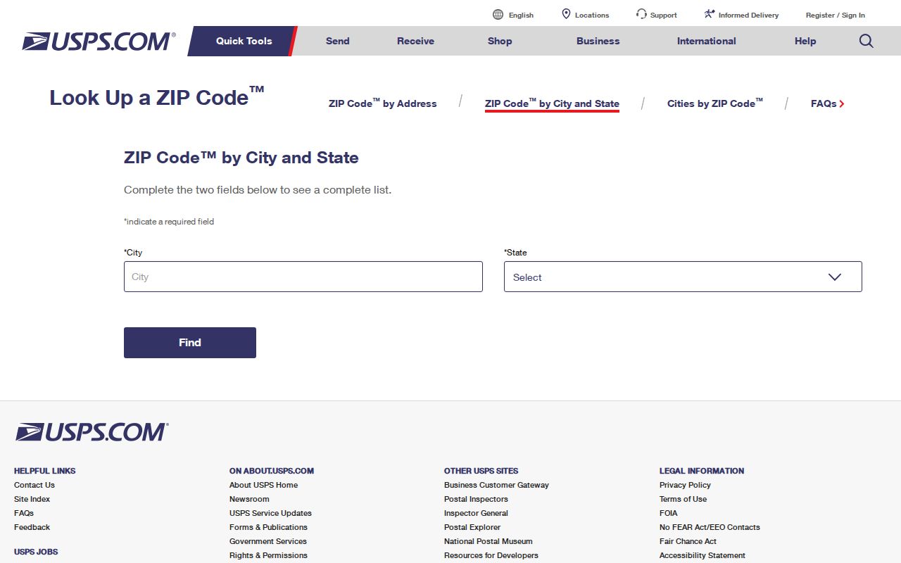
The USPS result answers the mail-routing question. A parcel card, permit, or city boundary layer must answer the land and jurisdiction questions.
33990, 33914, and 33991 Across Cape Coral
ZIP 33990 takes in east-central Cape Coral around City Hall, Cultural Park, and central Del Prado. ZIP 33914 covers southwest canal areas and the Cape Harbour vicinity. ZIP 33991 follows the west-central Pine Island and Trafalgar corridors. These postal zones cross different development eras and canal systems, so permit issue and final dates may be more useful than a deed date when the goal is to date physical use of a parcel.
Cape Coral's roughly 400 miles of canals make dock, seawall, flood, water-access, and canal-system records unusually useful. Preserve the directional quadrant and exact road type with every address. Repeated numbered streets can otherwise send a search to the wrong parcel even when the ZIP code is right.
33909 and 33993 Mark North Cape Growth
ZIP 33909 reaches northeast toward Gator Circle. ZIP 33993 covers northwest and far north Cape Coral along the Burnt Store corridor. The city reports that most expected new development lies in North Cape. A northern vacant lot may therefore have decades of owners but only a recent permit, certificate of occupancy, or resident trail.
This title-versus-occupancy gap is a local feature of Cape Coral's original national installment-lot sales. A remote mailing address on an older deed can identify an investor, not someone who lived on the parcel. Pair the tax roll with permits, voters, directories, or other occupancy evidence before describing a person as a resident.
New construction also changes the searchable address landscape. Lee E911 may assign or revise a site address after a lot split, combination, or development application. Save the subdivision, block, lot, and STRAP when moving between a northern ZIP result and the permit system. These land keys outlast a postal label and prevent a failed address query from being mistaken for a missing record.
Finding Residents by ZIP Code
A ZIP-wide resident search begins with portals that actually accept postal geography. The Lee Property Appraiser provides Postal Code modes for real property, while tangible property also accepts ZIP. Cape Coral EnerGov permit data includes ZIP. A public voter extract may be sorted geographically, but the individual Florida voter-status form has no ZIP field.
- Verify the mailing code through USPS and preserve ZIP+4 when known.
- Run the Lee Property Appraiser Postal Code search and save each relevant STRAP.
- Overlay parcels with Cape Coral's ZIP and city-boundary GIS layers.
- Check EnerGov by ZIP or address for permit, plan, inspection, and code activity.
- Request a Lee voter CSV by geography only when that official record fits the task.
Once the result set narrows, the Cape Coral street directory explains how to work parcel by parcel along one named road. ZIP code directory results should remain a first filter, not a claim about who occupies an address.
Search Cape Coral Property Records by ZIP
The Lee County Property Appraiser separates the physical site from the owner's tax-mailing destination. That distinction matters in a city with seasonal and absentee ownership. Postal Code can filter the report, while owner name, site address, STRAP, and Folio refine a match.
| Search field | Use in a ZIP search | Limit |
|---|---|---|
| Postal Code | Build a real-property set by ZIP | Postal area is not city jurisdiction |
| Site Address | Locate the Cape Coral parcel | Needs quadrant and road type |
| Owner Name | Find parcels tied to a name | Owner may not occupy the site |
| STRAP or Folio | Open one durable parcel identity | Not a household identifier |
Visit the Lee property search to see its postal filters.
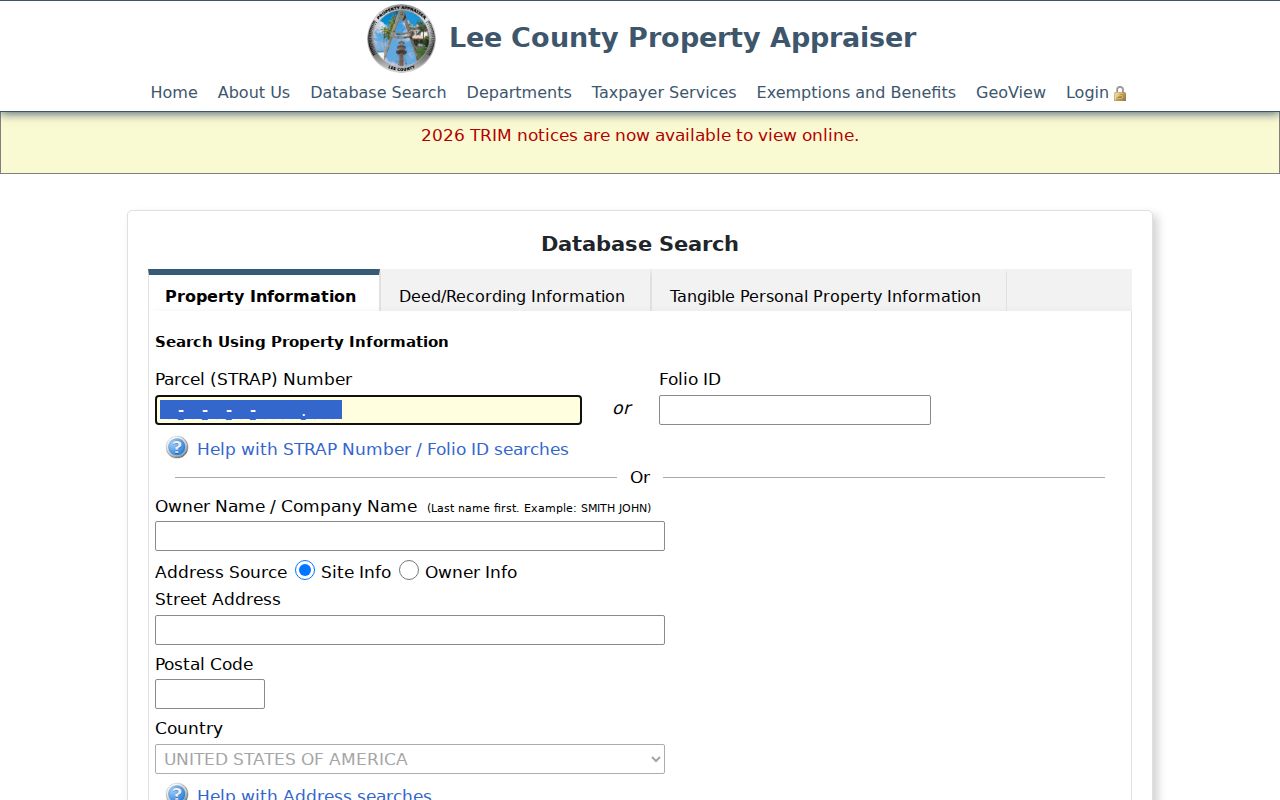
The result ties a ZIP to parcels and owners of record. It does not establish every occupant, and the owner mailing address may be outside Cape Coral.
For business geography, Sunbiz also offers ZIP Code and Street Address searches, and fictitious-name results can show an address and county. EnerGov includes ZIP within public permit data. Both can reveal activity tied to a postal zone, but an officer, agent, contractor, or business address must not be recast as a home address. Keep each result in its proper record category.
Cape Coral ZIP Codes Versus City Limits
ZIPs are USPS delivery routes, and Census ZCTAs are generalized statistical approximations. Neither is the Cape Coral municipal boundary. This creates three overlapping geographies: postal delivery, city jurisdiction, and countywide custodian coverage. A ZIP can help route mail while saying nothing conclusive about whether City Hall holds the permit or code record.
Confirm jurisdiction with the Cape Coral City Boundary layer.
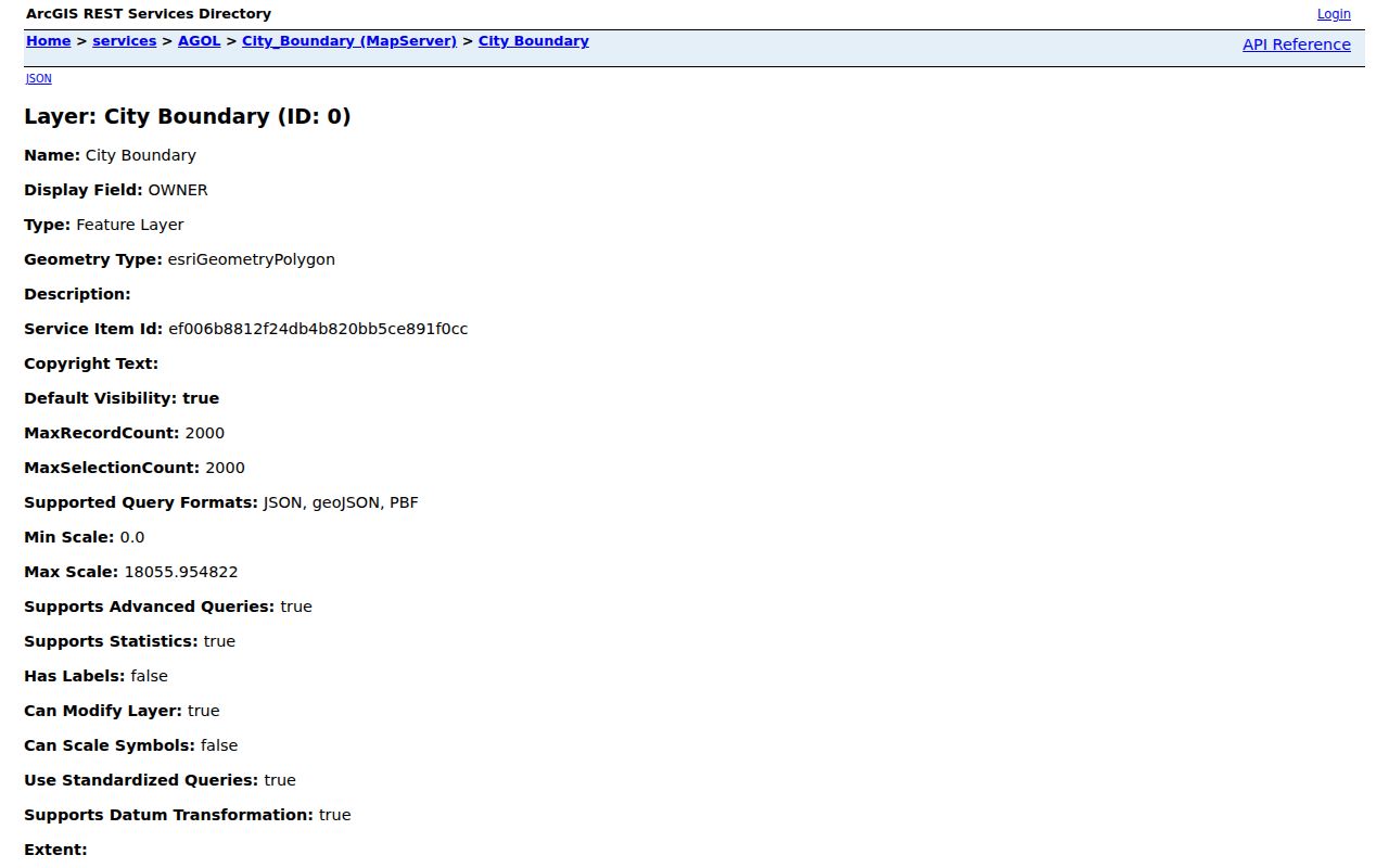
The boundary screen separates municipal records from mail geography. Lee Clerk and the Property Appraiser cover the county, while Cape Coral City Hall handles municipal permits, plans, and code material.
- ZIP vs ZIP+4
- A five-digit delivery area versus the added four digits that narrow a delivery segment.
- PO-box ZIP
- A code assigned mainly to post-office boxes rather than street delivery.
- Unique ZIP
- A code assigned to one high-volume organization.
- Carrier route
- The group of addresses served by one postal delivery route.
If an address fails, ask Lee E911 about site-address history through EAddressing@leegov.com. Lot splits, combinations, new construction, and alternate addresses can change the searchable label while the legal parcel remains continuous.
The same distinction controls where to request records. Cape Coral City Hall holds municipal plans, permits, code material, and its own archival files only when the site falls within city jurisdiction. Lee Clerk and the Property Appraiser cover all of Lee County. USPS resolves delivery, not custody. Checking those layers in that order keeps a Cape Coral ZIP code directory search from being sent to the wrong office.