
Cape Coral Neighbor Record Sources
No public source names every person on a Cape Coral block. The parcel map is the best way to define the block, and the property roll identifies tax owners. A requested voter file can add nonprotected registrants. Permits and code cases describe site activity, while civic directories identify public groups and contacts rather than private members.
| Official source | What it reveals near an address | How to reach it |
|---|---|---|
| Lee GeoView | Adjacent parcels, aerials, roads, zoning, sales layers, and selected parcel rows | Free map, 1,000-parcel selection cap |
| Lee Property Appraiser | Tax owner, site and mailing address, exemptions, legal description, sales | Free parcel query |
| Lee voter-data request | Nonprotected registrants by residence or geography | Written CSV order |
| Cape Coral EnerGov | Permits, plans, inspections, code cases, requests, and licenses | Public search without login |
| Park Community Group Directory | Organization, public contact person, and phone | Free city directory |
Tax ownership is not residence. The owner mailing address may be out of state, a trust can hold the parcel, and a renter may not appear in the roll. Treat each row as evidence about land or registration, not as a complete list of Cape Coral neighbors.
The record choice should follow the question. Use GeoView to decide which lots count as nearby. Open the tax roll for ownership and legal land details. Request voter data only for registration evidence, and check EnerGov when the issue is work or code activity at a site. The city group directory is the right channel for a public civic contact. Moving between these sources without changing the question can lead to false matches.
Map Cape Coral Neighbors Nearby
The Lee Property Appraiser GeoView entry opens the county parcel map and its aerial tools. Start with one precise address, turn on parcel lines, and expand only far enough to match the block or canal edge being researched.
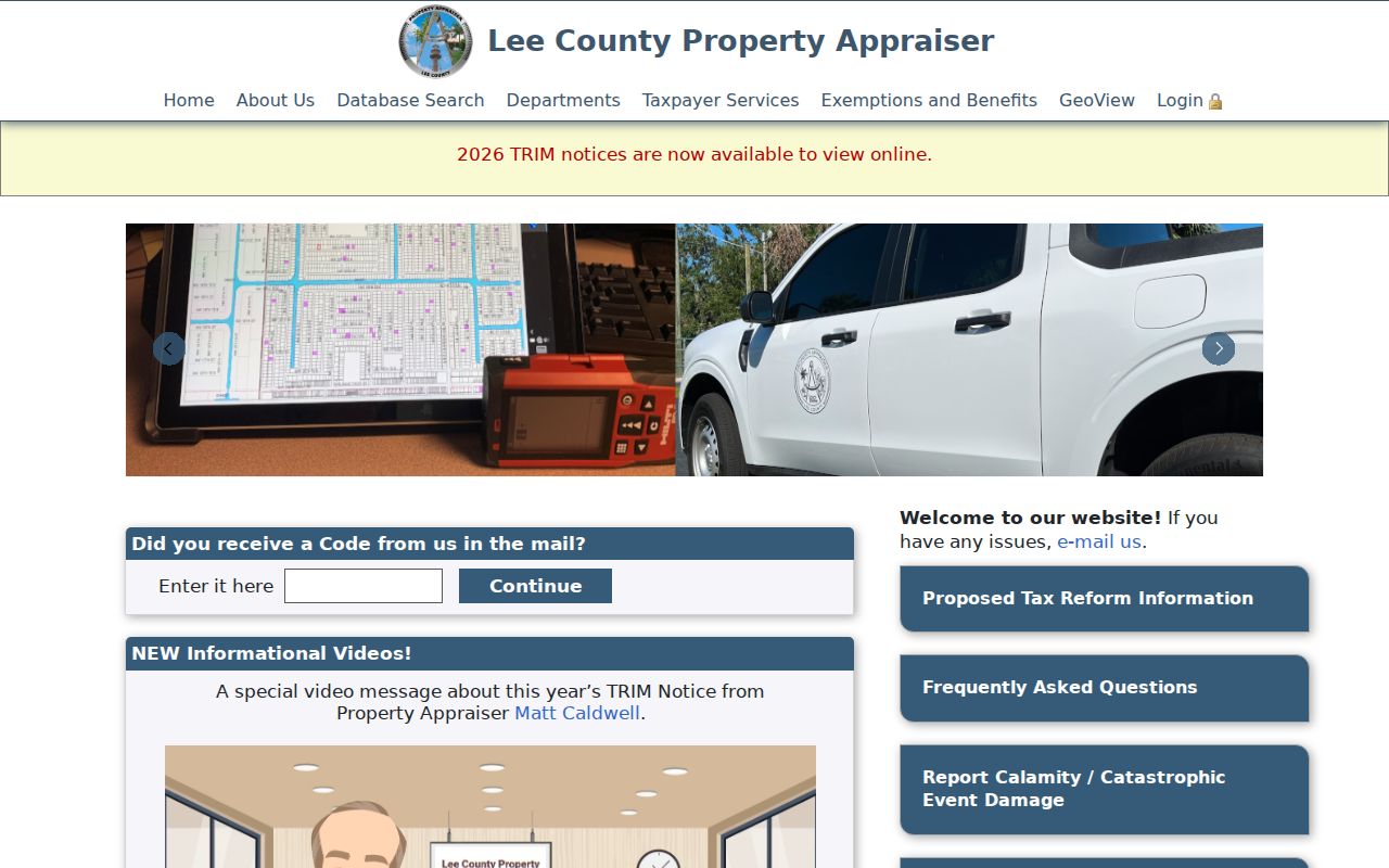
The map provides the geographic frame before individual owner records are opened.
- Find the subject parcel by street number and name, owner, or map navigation.
- Right-click or tap-hold it, then use Append to Selection for each adjoining lot.
- Use a line, box, polygon, or measured buffer when the area extends beyond direct lot lines.
- Open each bottom-table row and record its STRAP, site address, owner, and mailing address.
- Compare homestead, sales, and aerial evidence without claiming the owner lives there now.
GeoView also offers historical aerials, parcel labels, roads, zoning, sales, measurements, print, and image-save tools. A selected parcel is not a legal survey. For a full named-road workflow, use the Cape Coral street directory after defining the immediate block.
The Owner Last Name field can be paired with the beginning of a first name. Street number and street name offer an address route, and Business Name covers entity-owned parcels. Append to Selection keeps earlier choices while more lots are added. Selected rows can be sorted, and an information click opens the parcel detail. Stop before the viewer's 1,000-parcel limit turns a block inquiry into an overbroad area search.
Cape Coral Block Map Layers
The county parcel map and city maps answer different questions. Cape Coral GIS publishes parcel, street, sidewalk, canal, infrastructure, zoning, future-land-use, boundary, and ZIP resources. Those layers help explain why two lots that look close may sit across a canal, in different planning areas, or outside the municipal line.
The Cape Coral GIS overview lists the kinds of city map data available.
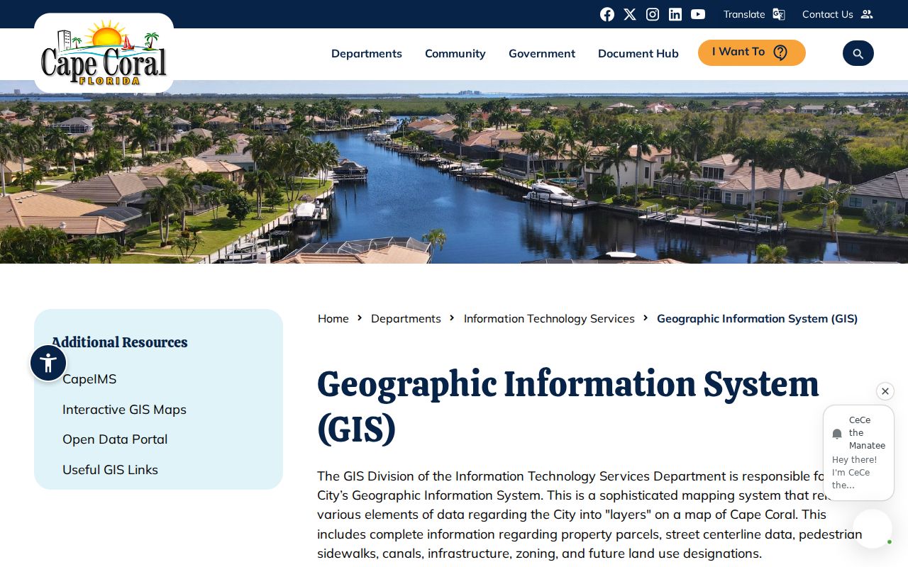
Use the city boundary to test municipal jurisdiction, then return to Lee parcel records for ownership.
The Cape Coral public parcel and permit layer exposes parcel-linked municipal fields.
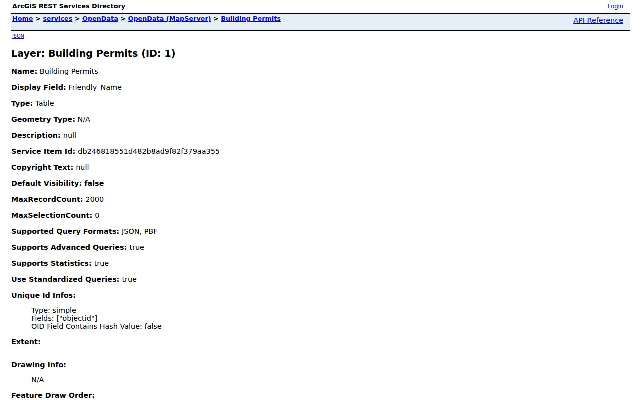
It joins address geography with permit activity, but it does not identify every occupant.
Cape Coral's canal system adds a local reason to inspect more than the street face. A parcel across water may look close on a broad map but may not be part of the same practical block. Dock, seawall, flood, and water-access layers can explain nearby construction records. Historical aerial years can also show when a vacant stretch gained finished structures, without assigning a move-in date to any named owner.
Cape Coral Neighbors in Voter Data
Florida's personal voter-status form is meant for a voter checking one registration. It is not a block browser. The verified geographic route is a public-data request to Lee County Elections. The requested CSV can be filtered by residence and mailing address, household, district, geography, status, and participation history after exempt fields are removed.
The Florida voter extract request page explains the state file channel.
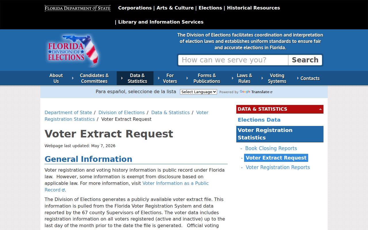
The state route is separate from Lee County's focused order and does not turn voting records into a household census.
Lee's registered-voter CSV costs $10 regardless of count, and election history from 1999 forward costs $10. Basic paper copies are $0.15 one-sided or $0.20 duplex. Broad work can trigger research or extensive-service charges and a deposit, so narrow the address range and fields. Participation shows whether someone voted, never ballot choices.
Protected addresses, signatures, Social Security numbers, driver-license or state-ID numbers, registration source, and preregistered-minor data are restricted. Nonvoters do not appear, and a registration can lag a move.
Lee Elections identifies its records custodian and accepts focused requests without requiring an identity or purpose. The order may ask for a residence range, district, date span, or selected fields. Monthly state extracts contain active and inactive voters through the prior month, but they are supplied by disk through mail or pickup rather than email. A standing state request expires each year.
Cape Coral Neighbor Permit Activity
EnerGov's public Map and Search tools can show permits, plans, inspections, code cases, requests, and licenses near a Cape Coral address. Search without an account. A permit record may display number, status, dates, work class, parcel, address, value, owner, contractor, occupancy, zoning, land use, and utility indicators.
The Cape Coral EnerGov portal is the city access point for nearby activity.
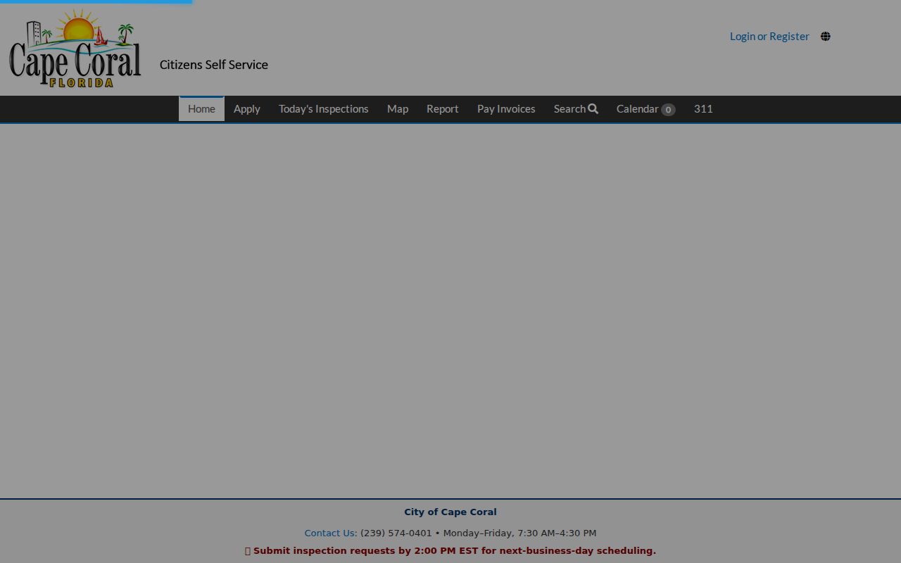
Read each result as evidence about work at a site. A named owner or contractor is not proof that the person occupied the property.
If an older plan or attachment is not scanned, request it from Cape Coral Records Management by portal, email, phone, writing, or in person. That office holds plans, permit applications, floor and site plans, dock plans, surveys, and related building records. Police records use a separate channel.
Permit dates deserve separate columns in any block notes. Application, issue, inspection, final, expiration, and last-inspection dates describe different points in the work. The city migrated 620,000 legacy permits and 3.2 million inspections when EnerGov launched, so a 2022 system date is not proof that local permit history starts then. Missing online attachments may reflect scanning coverage rather than a missing file.
Match Cape Coral Neighbor Addresses
Cape Coral repeats numbered road names across NW, NE, SW, and SE quadrants. Preserve the prefix and exact road type. A numbered Street is not the same search as its matching Terrace, Avenue, Place, Lane, or Court. Partial input in EnerGov can return several roads, so a loose match is risky.
The Property Appraiser's Site Info searches the physical parcel address. Owner Info searches the tax mailing address. Those controls answer different questions. If an address changed after a lot split, combination, new build, or E911 update, use STRAP, Folio, lot and block, subdivision, or Address History to keep the same land in view.
Note: No authoritative citywide renumbering list was found, so pivot to legal land keys rather than guessing a street-change date.
Cape Coral Civic Neighbor Contacts
Cape Coral does not publish a complete association membership roster. The Park Community Group Directory instead gives public organization names, contact people, and phone numbers. That distinction protects private members while providing a verified civic contact point.
| Public resource | What it offers |
|---|---|
| Park Community Group Directory | Contacts for the Historical Society, Art League, Friends of Wildlife, Coast Guard Auxiliary, astronomy and recreation groups |
| Council district finder | A district from an address or landowner name, not a neighbor list |
| Business startup resources | Links to construction, Realtor, and community foundation groups |
The Park Community Group Directory shows the public contact format.
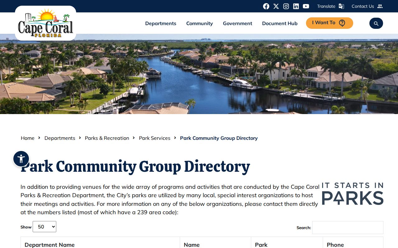
Contact a group about its public work. Do not infer that a listed contact represents a private roster of Cape Coral neighbors.
Cape Coral Neighbor Tool Differences
Official records are narrow but traceable to a custodian. Commercial neighbor tools can combine public and commercial files, yet their names and address links may be stale, merged, or wrong. Use that category only as a lead, then verify each point with the parcel roll, voter custodian, permit record, or civic directory.
| Source type | Strength | Main limit |
|---|---|---|
| Official parcel and permit records | Named custodian, parcel keys, dated records | Owners and project parties are not a household list |
| Official voter data | Registration fields with exemptions applied | Omits nonvoters and protected records; may lag moves |
| Commercial compiled tools | May suggest another spelling or prior address | Stale dates, merged identities, and unclear correction paths |
Corrections belong with the source that created the record. Ask the Property Appraiser about its roll, Elections about voter data, and City Records about permit files.
A negative search has the same limit. It means the chosen spelling, date, field, and portal produced no match. It does not prove that no record or person exists. Try the exact quadrant, road suffix, STRAP, prior parcel number, trust name, or a tighter date before switching custodians. Confidentiality, delayed updates, and jurisdiction can also account for the gap.
Protect Cape Coral Neighbors' Privacy
Renters, household members, nonvoters, and utility customers do not form a public Cape Coral neighbor directory. Driver and utility addresses are not public resident rolls. Homestead can support owner occupancy, but it does not name everyone in the home or prove real-time presence.
Florida's Address Confidentiality Program gives eligible relocated victims of domestic violence and stalking a substitute address for public-agency use. Other exemptions protect qualifying officials and family members. Public voter data also excludes protected identifiers and addresses. A blank result may reflect privacy law, timing, spelling, or coverage, not an error to defeat.
Lawful use. Use neighbor records for civic contact, personal safety, or ordinary block research. Never use them to watch, threaten, harass, or harm anyone.