
Walk a Cape Coral Street
Who owns or may live along a Cape Coral street cannot be answered by one file. The property roll names tax owners, deeds show transfers, permits show work at a site, and voter data may identify registered residents. Each has a different cutoff and purpose. A good street directory search keeps the full address, checks the same parcel across offices, and marks whether each name points to ownership, registration, construction work, or past occupancy.
Use this street-by-street sequence so an early match does not get mistaken for a full household record:
- Standardize the number, quadrant, street name, and road type. Keep NW, NE, SW, or SE and distinguish Street, Terrace, Avenue, Place, Court, and Lane.
- Search the Lee County Property Appraiser by Site Info address. Save the STRAP, Folio, legal description, current owner, and latest sale instrument.
- Open GeoView, show parcel lines, and select the subject lot plus nearby lots. The map ties a street segment to parcel records.
- Use the last-sale instrument and owner name in Lee Clerk Official Records. Work back through grantors and grantees when ownership history matters.
- Check EnerGov permit and code activity by address. For lawful street-level voter research, request the geographic data extract rather than using the personal status form.
- For an older occupant, ask reference staff whether a reverse or criss-cross volume covers the place and year. Exact local directory runs are not confirmed online.
This sequence separates title from occupancy. It also gives a fallback when one portal rejects an old address. The STRAP and legal description can remain useful even after E911 address maintenance or a parcel-number change.
Cape Coral Street Quadrants Matter
Cape Coral repeats numbered road names across four quadrants. Dropping a directional prefix can send a street directory search to the wrong parcel. Road type matters too. A Street is not the same as a Terrace, Avenue, Place, Lane, or Court with the same number. Preserve the form shown on the parcel card, then test common USPS abbreviations when a portal expects a shorter version.
EnerGov accepts partial addresses, which helps with uncertain spelling but can also return several similar roads. Lee E911 maintains site addresses. When an old label fails, use the Property Appraiser's Address History, current and prior STRAP numbers, subdivision, block, lot, or section-township-range. Research found no verified citywide renumbering date or renamed-street list, so address changes must be resolved parcel by parcel.
Note: A failed address search may reflect a split, lot combination, alternate address, or spelling change rather than a missing record.
Cape Coral Property Search Fields
The Lee County Property Appraiser is the strongest first stop by address. Its Property Information, Deed/Recording Information, and Tangible Personal Property tabs offer more than a simple owner search. Site Info means the physical parcel, also called the situs address. Owner Info means the tax-bill mailing address, which may be a post office box, manager, trust, or out-of-state owner.
| Search Field | Input | Best Street Use | Format Note |
|---|---|---|---|
| STRAP or Folio | Parcel ID | Hold one parcel steady across records | Exact ID; Folio has eight digits |
| Owner or company | Name | Find other parcels tied to a tax owner | Enter last name first |
| Address Source | Site or Owner Info | Separate parcel location from tax mailing | Choose the source before searching |
| Street address or postal code | Address text | Narrow a street or ZIP | Keep the Cape Coral quadrant |
| Instrument or book/page | Recorded reference | Move from parcel card to deed | Use the Deed/Recording tab |
| Grantor or grantee | Party name | Follow transfers along the street | Test name variants |
The result can show ownership, site and mailing addresses, property description, sale instruments, building details, values, exemptions, permits, address history, aerials, flood data, and prior parcel numbers. Homestead may support owner occupancy for a tax year, but it does not prove who is at the property now.
The property quick-search screen shows the main ways to enter a Cape Coral address.
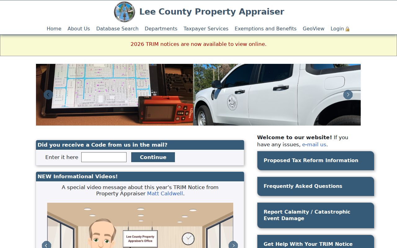
The screenshot helps distinguish an owner-name query from a Site Info address search before a parcel card is opened.
Map Cape Coral Streets in GeoView
Lee Property Appraiser GeoView turns one address into a street segment. Search by owner last name, street number and name, or business name. Zoom until parcel lines appear. Right-click or tap and hold to select a parcel, then append nearby lots or draw a line, box, or polygon. A buffer can gather parcels within a set number of feet. Selected records appear in a sortable table, with a 1,000-parcel limit.
The GeoView selection instructions show how the map tools behave.
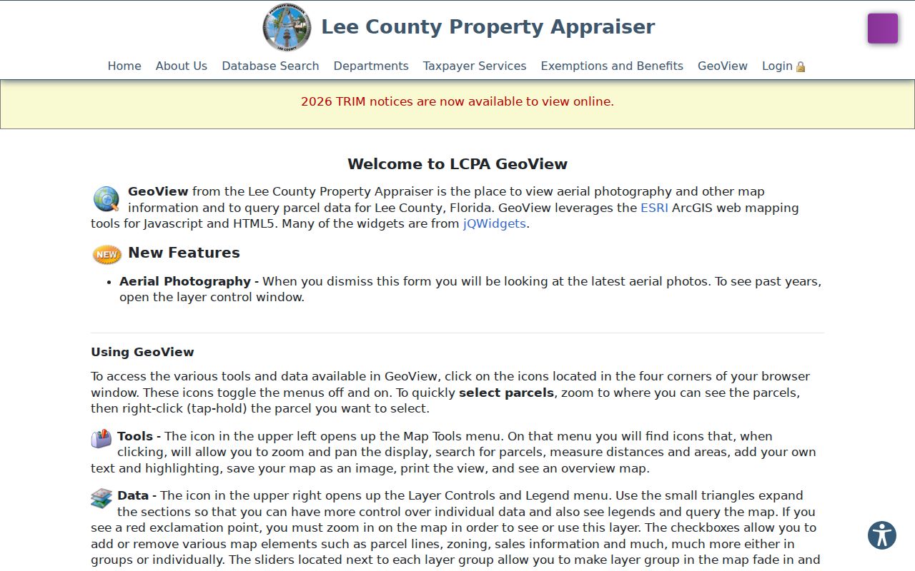
Those tools are useful when a by-street text search misses a lot but its location is clear on the map.
Layer controls add roads, street names, lots, zoning, sales, and current or historic aerials. Measurements and saved images aid research, but GeoView is not a legal survey. It maps parcels and tax owners, not every person who lives there.
The GeoView parcel map provides the live entry point.
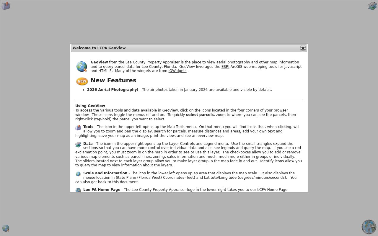
Use the mapped parcel rows to carry STRAP numbers back to the assessor and deed index.
Cape Coral Records by Address
No Cape Coral street directory contains all occupants. The useful record sets overlap, and each supports a narrower statement. The table keeps ownership, mapped land, registration, and site activity separate.
| Address Record | Custodian | Evidence on a Street | Access Route |
|---|---|---|---|
| Property roll | Lee Property Appraiser | Tax owner, situs, mailing, sale and parcel history | Free query, reports, or office help |
| GeoView | Lee Property Appraiser | Adjacent parcels, roads, zoning and aerials | Free map viewer |
| Official Records | Lee Clerk | Deeds, mortgages, plats, liens and judgments | Free index/images; counter, mail, or e-certified copy |
| Permit and code file | Cape Coral | Work, inspection, plan, case and license history | EnerGov; Records Management fallback |
| Voter extract | Lee Elections | Nonexempt registered voters by residence or geography | Written CSV request |
| Reverse directory | Library or archive if held | Historical occupant by street number | Confirm volume and year with staff |
A parcel ID links the strongest modern sources. Street spelling links voter and directory material. If the goal becomes one named person instead of a full road, the Cape Coral resident lookup gives the more focused verification path.
Deeds Along Cape Coral Streets
Lee Clerk Official Records reaches back to 1887, long before Cape Coral incorporated. Begin with the sale instrument on the parcel card. Open it and record the grantor, grantee, recording date, and legal description. A grantor gives an interest; a grantee receives it. To move backward, search the current seller as a grantee in an earlier date range, then repeat.
The portal's default date starts in 2010, so it must be reset for older instruments. Search the last name plus a first initial, and test spouses, trusts, or company variants. When the index is unclear, compare book/page, instrument number, lot and block, legal description, the assessor's Sales/Transactions list, and Parcel Numbering History.
Public images can be viewed and printed free. Restricted images may not appear. Copies are also available by e-certification, at the Cape Coral branch or Fort Myers counter, or by mail with the identifying reference, payment, and a stamped return envelope. The Cape Coral branch handles recording and court-copy work but not marriage or passport services.
Cape Coral Permits by Street
The city's EnerGov public-search guide covers permits, plans, inspections, code cases, requests, licenses, and the address map. Search is open without an account. A permit result may show status, application, issue, final and inspection dates, work class, description, parcel, address, value, owner, contractor, zoning, future land use, and utility indicators.
The EnerGov address search is the direct by-address channel.
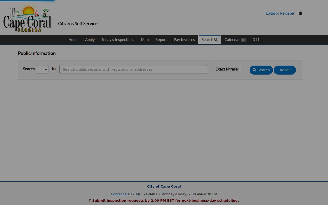
The screen shows why both a partial address and a category search can help when the permit number is unknown.
EnerGov launched with 620,000 legacy permits and 3.2 million inspections migrated from the prior system. That count does not make 2022 the start of permit history. When a plan or elevation certificate is missing online, ask Cape Coral Records Management for unscanned plans, surveys, floor plans, dock plans, and permit applications. In a canal city, dock and seawall records can help date when land changed from a vacant lot to an active site.
Cape Coral GIS Street Layers
Cape Coral's own maps complement the county parcel viewer. The city's GIS includes street, sidewalk, canal, infrastructure, zoning, future-land-use, permit, boundary, and ZIP layers. These layers can explain why two lots on one road follow different municipal records paths or why a canal-side site has dock and seawall evidence beyond its main building permit.
The Cape Coral interactive GIS directory identifies the available public applications.
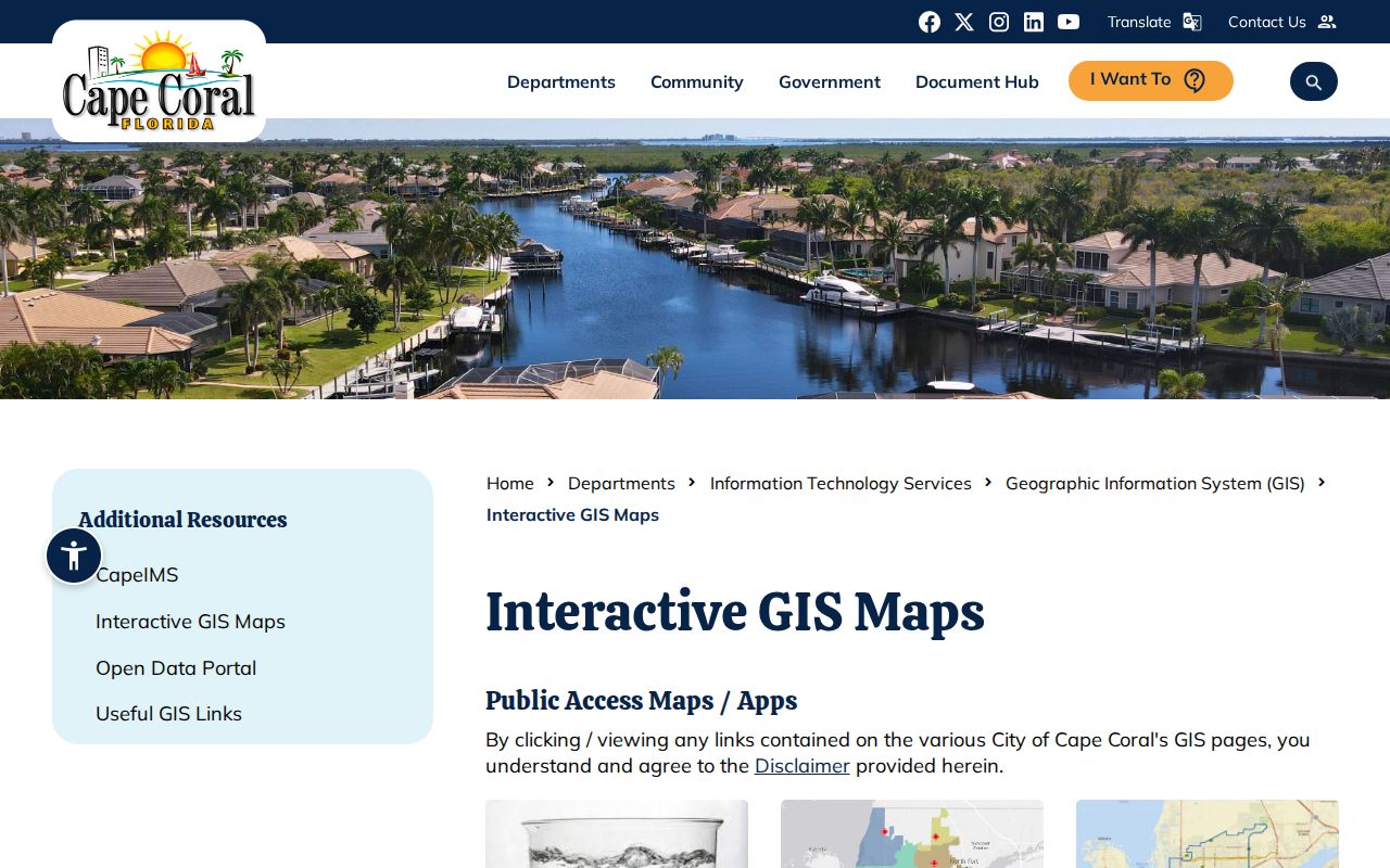
Compare the city layer with the county parcel card rather than treating either map as an occupant roster.
Cape Coral Voters by Street
The state voter-status form is for a voter to check a personal registration with a name and birth date. It is not an address roster. The by-street route is a written data request to the Lee County Supervisor of Elections. A registered-voter CSV costs $10 regardless of count and may be filtered by residence, mailing address, household, district, geography, registration status, and participation history.
Florida law keeps Social Security, driver-license and state-ID numbers, signatures for copying, registration source, preregistered-minor data, and protected addresses out of the public extract. Participation history shows whether a person voted, never how a ballot was cast. A voter address may lag a move, and many residents will not appear. Narrow the place and date range because broad requests may bring labor charges and a deposit.
Note: Voter registration supports an address match, but it does not prove tenancy, current presence, or a complete Cape Coral household.
Cape Coral Address Terms
Several terms recur when a street search moves from the map to older records. Define them before comparing results from different custodians.
- Parcel
- A mapped unit of land identified on the tax roll. It may change through a split or combination.
- Situs address
- The physical property address. It differs from the owner's tax-bill mailing address.
- Plat
- A recorded map that lays out a subdivision, blocks, lots, roads, and other features.
- STRAP
- Lee County's durable 17-character parcel key, useful across appraiser, map, deed, and fraud-alert records.
- Criss-cross directory
- A directory arranged by street and house number rather than by a person's surname.
A legal description is often more stable than a street label. Keep it with the STRAP, prior STRAP, lot, block, and subdivision when building a Cape Coral street directory trail.
Cape Coral Reverse Directory Gaps
A reverse directory can list an occupant under a street number, then let a reader browse consecutive addresses. That makes it valuable for past households and old neighbors. Yet official online catalogs did not verify exact Cape Coral or Fort Myers titles, publishers, telephone-book years, or criss-cross runs. Do not claim that a given year exists until staff confirms it.
Ask the Fort Myers Regional Library Genealogy Room about suburban, telephone, and reverse holdings, microfilm, FamilySearch Affiliate access, interlibrary loan, and reference help. The State Library of Florida can search by city and year. Once a volume is confirmed, the Cape Coral city directory collections explain how to read abbreviations and trace a household across editions.
Cape Coral Street Directory Limits
Property records do not list renters or all household members. A tax-mailing address may point to a trust, manager, post office box, or remote lot buyer. Homestead supports an owner-occupancy inference for a tax year but is not proof of who is present today. Permits name people tied to work, not residents. Deeds show transfers, not move-in dates. Voter files omit nonvoters and protected addresses.
Florida motor-vehicle personal data and private utility details do not become a public resident list. Commercial neighbor products compile mixed data that can be stale or merge people with the same name. Verify a key fact with its official custodian and record the date searched.
Lawful use. Use Cape Coral address records for legitimate personal research. Florida law does not permit stalking, threats, harassment, fraud, or harm.